AI Can Now Spot Deadly Landslides Before Humans Can, And That’s a Gamechanger
Landslides are fast, violent, and devastating, and by the time we detect them, it’s often too late. But researchers from the University of Cambridge may have just given humanity a critical head start.
In a groundbreaking project, scientists have developed a new AI-powered detection system capable of “seeing” landslides in real time, even across vast and remote mountain ranges. The tool, powered by machine learning, can identify landslides faster and more accurately than traditional satellite imaging, and it could transform how we respond to natural disasters.
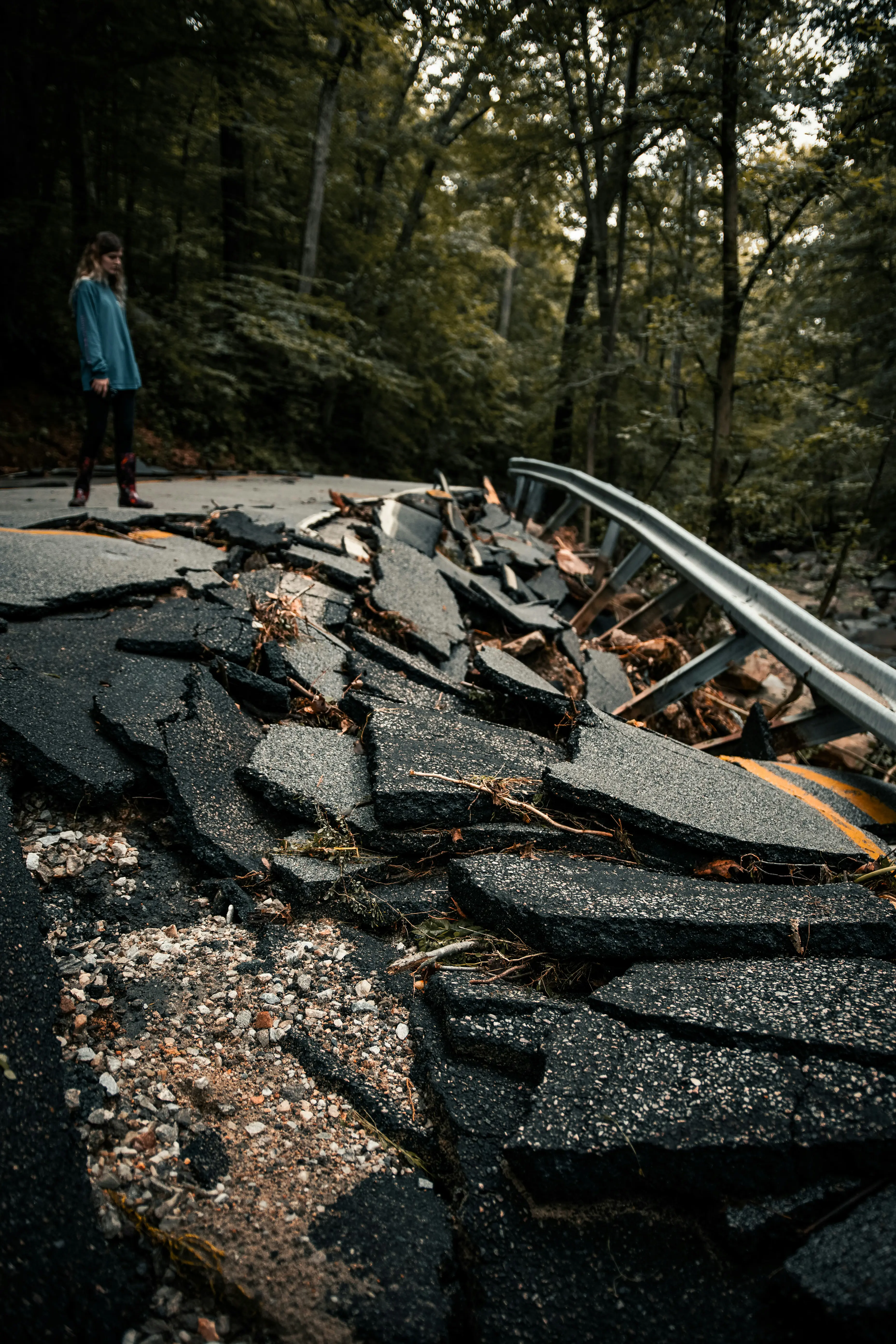
Landslides kill thousands every year and are becoming more frequent as climate change fuels heavier rainfall and more extreme weather. Following major earthquakes or storms, affected areas can become scattered with deadly earth movements. Quickly locating them, especially in rugged terrain, is critical for rescue teams and disaster management.
“After an earthquake or intense rainfall, time is everything,” says Dr. Alex Densmore, a geoscientist on the team. “The longer it takes to find the landslides, the greater the risk to survivors, rescuers, and critical infrastructure.”
Until now, identifying landslides meant analyzing satellite images manually, a process that could take weeks. But the new AI system, trained on thousands of images of known landslides, can scan and classify massive areas in minutes, instantly flagging hazards that would otherwise go unseen.
What makes this system especially powerful is its ability to function even in cloudy or low-visibility conditions, which often plague disaster zones. By integrating radar and multi-spectral imaging, the AI can peer through clouds, smoke, and dust, a crucial advantage during post-disaster chaos.
Beyond rapid detection, the AI platform helps prioritize emergency response. Rescue teams can be directed to the hardest-hit areas immediately, and infrastructure inspections can begin sooner, reducing both human and economic costs.
“This isn’t just about data. It’s about getting help to where it's needed most, as fast as possible,” says Dr. Amy Donovan, co-author of the study. “With AI, we’re not just reacting anymore, we’re anticipating.”
The researchers are already working with governments and disaster relief organizations to roll out the technology in vulnerable regions, especially earthquake-prone zones like the Himalayas and Andes.
As our planet warms and extreme weather events become more common, tools like this could become essential in climate adaptation strategies. A world where machines help protect us from the wrath of nature may sound like science fiction, but thanks to AI, it’s quickly becoming science fact.
And when every second counts, a machine that can see what humans can’t just might tip the balance between life and death.