The World's First Fog Water Map Reveals Hidden Rivers in the Sky
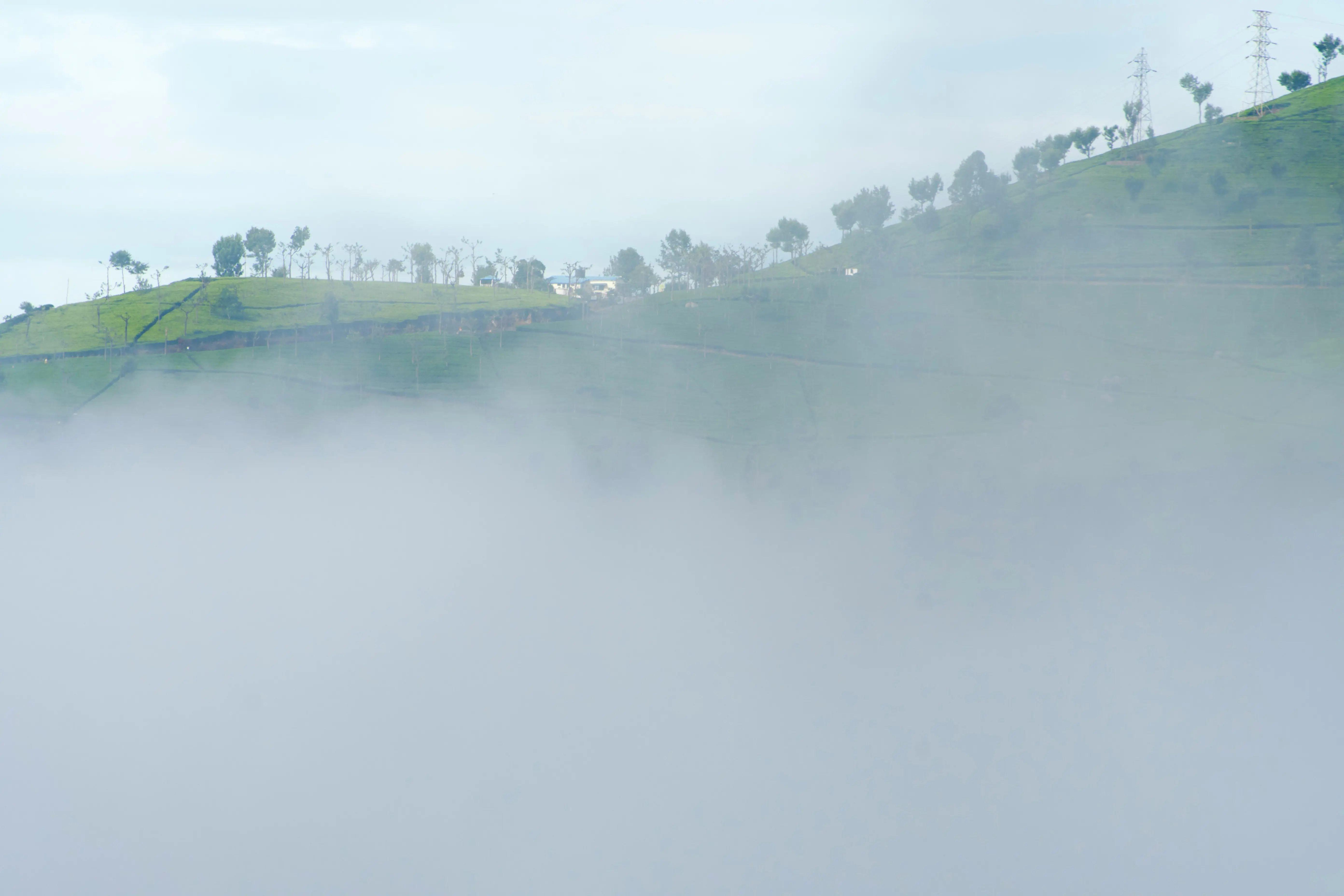
In the arid stretches of northern and central Chile, a silent miracle floats through the air. Locals call it camanchaca, the dense coastal fog that rolls in from the Pacific Ocean. Now, for the first time, scientists have mapped exactly how much water this ghostly mist can yield.
Researchers at Pontificia Universidad Católica de Chile have launched a groundbreaking interactive fog water map, the first of its kind, showing in stunning detail how much drinkable water can be harvested from fog across hundreds of kilometers of coastline.
This innovation isn't just a scientific feat, it’s a life-changing tool for water-stressed communities, farmers, conservationists, and even architects designing buildings that drink from the sky.
By analyzing 11 years of meteorological data, the platform identifies optimal zones for fog collectors, mesh structures that trap tiny water droplets from passing mist, which then drip down into clean, usable water. These simple yet ingenious systems are already providing hundreds of liters daily in pilot areas.
The new map shows how much fog water can be extracted month by month and pinpoints high-yield zones, offering a scalable solution in the face of climate change and water scarcity.
“In the most arid regions, this fog is often the only reliable water source,” said the project team. “With this tool, we’re empowering local communities and decision-makers to plan sustainable water strategies.”
From coastal deserts to cloud forests, this initiative opens a new frontier in climate adaptation, turning a once-overlooked weather phenomenon into a renewable freshwater resource.
It’s not just science, it’s hope in the air.